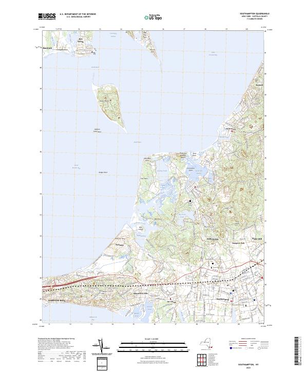
2023 Map of Southampton
USGS Topo · Published 2023About this map
Southampton and its surrounding hamlets occupy this complex maritime landscape where the Atlantic and Peconic waters nearly meet. The town's colonial and maritime legacy is etched into the terrain at sites like Conscience Point and the North Sea Burial Ground, while the residential development of Art Village and Shinnecock Hills illustrates the area's later growth as a premier summer destination. The geography is defined by a dense network of ponds and necks, including Big Fresh Pond and the protected waters of North Sea Harbor.
Find a feature on this map
125 named features on this map. Tap any name to fly to it.
Don’t see what you’re looking for? This feature index may not catch every label — zoom into the map to look around manually.
Map Details
Editions of this 2023 Southampton Map
This is the sole edition of this map. No revisions or reprints were ever made.
Other maps of this area
1903 · Sag Harbor
USGS Topo · 1:62,500
1903 · Riverhead
USGS Topo · 1:62,500
1904 · Sag Harbor
USGS Topo · 1:62,500
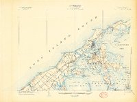
1904 · Shelter Island
USGS Topo · 1:62,500
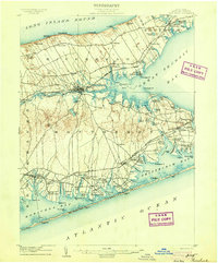
1904 · Riverhead
USGS Topo · 1:62,500
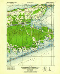
1943 · Riverhead
USGS Topo · 1:62,500
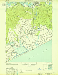
1946 · Sag Harbor
USGS Topo · 1:24,000
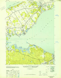
1947 · Mattituck
USGS Topo · 1:24,000
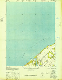
1947 · Mattituck Hills
USGS Topo · 1:24,000
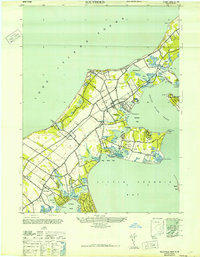
1947 · Southold
USGS Topo · 1:24,000