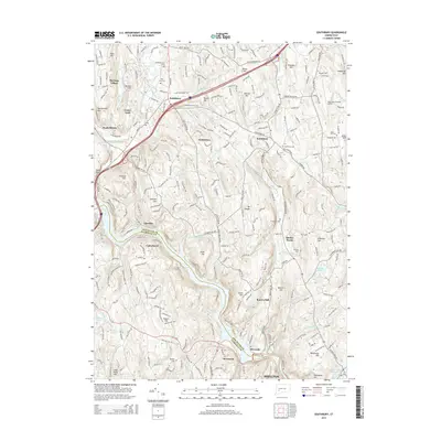
2015 Map of Southbury
USGS Topo · Published 2015About this map
The Housatonic River carves a deep valley through this portion of Connecticut, forming the centerpiece of the landscape as Lake Zoar. The transition from industrial corridors to planned residential developments is evident in the layout of Heritage Village and the proximity of the Waterbury-Oxford Airport to established settlements. Local genealogy is well-represented through numerous burial grounds, including Middleground Cem, Brookside Cem, and Hillside Cem, which are tucked between the region's many named peaks like Mt Pisgah and Georges Hill. The network of numbered brooks, from Fivemile Brook to Eightmile Brook, illustrates the historical drainage patterns that once powered local industry, such as the site near Papermill Pond. This map captures the area as modern infrastructure and suburban growth meet the enduring geography of the Naugatuck Valley region.
Find a feature on this map
68 named features on this map. Tap any name to fly to it.
Don’t see what you’re looking for? This feature index may not catch every label — zoom into the map to look around manually.
Map Details
Editions of this 2015 Southbury Map
This is the sole edition of this map. No revisions or reprints were ever made.
Other maps of this area

1889 · Derby
USGS Topo · 1:62,500

1891 · Derby
USGS Topo · 1:62,500

1892 · Danbury
USGS Topo · 1:62,500

1892 · New Milford
USGS Topo · 1:62,500

1893 · Waterbury
USGS Topo · 1:62,500

1893 · New Milford
USGS Topo · 1:62,500

1893 · Derby
USGS Topo · 1:62,500

1904 · New Milford
USGS Topo · 1:62,500

1904 · Waterbury
USGS Topo · 1:62,500

1904 · Litchfield
USGS Topo · 1:125,000