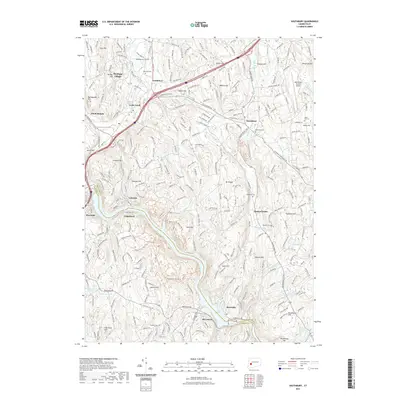
2021 Map of Southbury
USGS Topo · Published 2021About this map
Lake Zoar and the Pomperaug River define the lower elevations of this western Connecticut landscape, where the borders of Fairfield and New Haven counties meet. The settlement pattern is characterized by modern residential developments like Heritage Village alongside older village centers such as Southford and Quaker Farms. A significant number of upland hills, including Mt Pisgah and Georges Hill, separate the local watercourses.
Find a feature on this map
57 named features on this map. Tap any name to fly to it.
Don’t see what you’re looking for? This feature index may not catch every label — zoom into the map to look around manually.
Map Details
Editions of this 2021 Southbury Map
This is the sole edition of this map. No revisions or reprints were ever made.
Other maps of this area

1889 · Derby
USGS Topo · 1:62,500

1891 · Derby
USGS Topo · 1:62,500

1892 · Danbury
USGS Topo · 1:62,500

1892 · New Milford
USGS Topo · 1:62,500

1893 · Waterbury
USGS Topo · 1:62,500

1893 · New Milford
USGS Topo · 1:62,500

1893 · Derby
USGS Topo · 1:62,500

1904 · New Milford
USGS Topo · 1:62,500

1904 · Waterbury
USGS Topo · 1:62,500

1904 · Litchfield
USGS Topo · 1:125,000