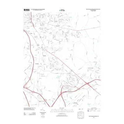
2013 Map of Southeast Durham
USGS Topo · Published 2013About this map
The Raleigh-Durham International Airport anchors the southern landscape of this 2013 survey, reflecting the significant infrastructure that defines the corridor between Durham and Raleigh. Surrounding the airfield, smaller communities like Nelson and Adams Crossroads represent older nodes of settlement now integrated into a rapidly developing regional hub. The map captures a mix of residential growth and preserved natural space, notably at the eastern edge of William B Umstead State Park and the waters of the Brier Creek Reservoir.
Find a feature on this map
300 named features on this map. Tap any name to fly to it.
Don’t see what you’re looking for? This feature index may not catch every label — zoom into the map to look around manually.
Map Details
Editions of this 2013 Southeast Durham Map
This is the sole edition of this map. No revisions or reprints were ever made.
Other maps of this area

1943 · Durham South
USGS Topo · 1:62,500

1943 · Raleigh
USGS Topo · 1:62,500

1943 · Creedmoor
USGS Topo · 1:62,500

1944 · Creedmoor
USGS Topo · 1:62,500

1951 · Raleigh
USGS Topo · 1:62,500

1951 · Durham South
USGS Topo · 1:62,500

1951 · Durham North
USGS Topo · 1:62,500

1953 · Raleigh
USGS Topo · 1:250,000

1953 · Greensboro
USGS Topo · 1:250,000

1954 · Greensboro
USGS Topo · 1:250,000