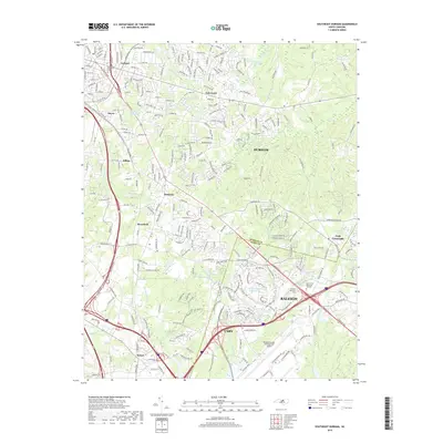
2019 Map of Southeast Durham
USGS Topo · Published 2019About this map
The boundary between Durham County and Wake County bisects this landscape of suburban expansion and transportation infrastructure. While the dense urban centers of Durham, Raleigh, and Cary anchor the corners, the map reveals a network of smaller established communities such as Bethesda, Brassfield, and Lynn Crossroads. The southern portion is dominated by the sprawling grounds of the Raleigh-Durham International Airport, framed by major transit corridors like Glenwood Avenue and Aviation Parkway.
Find a feature on this map
91 named features on this map. Tap any name to fly to it.
Don’t see what you’re looking for? This feature index may not catch every label — zoom into the map to look around manually.
Map Details
Editions of this 2019 Southeast Durham Map
This is the sole edition of this map. No revisions or reprints were ever made.
Other maps of this area

1943 · Durham South
USGS Topo · 1:62,500

1943 · Raleigh
USGS Topo · 1:62,500

1943 · Creedmoor
USGS Topo · 1:62,500

1944 · Creedmoor
USGS Topo · 1:62,500

1951 · Raleigh
USGS Topo · 1:62,500

1951 · Durham South
USGS Topo · 1:62,500

1951 · Durham North
USGS Topo · 1:62,500

1953 · Raleigh
USGS Topo · 1:250,000

1953 · Greensboro
USGS Topo · 1:250,000

1954 · Greensboro
USGS Topo · 1:250,000