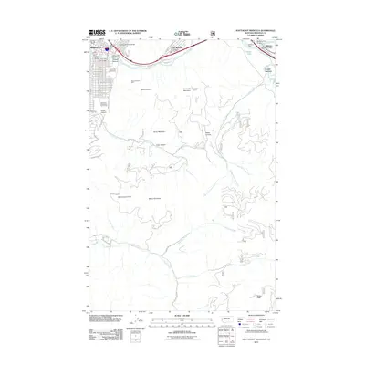
2011 Map of Southeast Missoula
USGS Topo · Published 2011About this map
The University of Montana and the surrounding neighborhoods of southeast Missoula anchor this 2011 survey, showing the city's transition into the foothills of the Northern Rockies. The landscape is defined by the confluence of the Clark Fork and the Blackfoot River, where the Milltown Dam and Milltown Post Office mark the industrial and civic heart of the Milltown and Bonner Junction communities. The map captures a moment of significant topographic transition, from the urban grid of Missoula through the narrow Hellgate Canyon and into the high summits of Mount Sentinel and University Mountain. Natural resources and recreational spaces are noted throughout, including the Mount Sentinel Mine on the slopes above the university and the University of Montana Golf Course at the mouth of Pattee Canyon.
Find a feature on this map
50 named features on this map. Tap any name to fly to it.
Don’t see what you’re looking for? This feature index may not catch every label — zoom into the map to look around manually.
Map Details
Editions of this 2011 Southeast Missoula Map
This is the sole edition of this map. No revisions or reprints were ever made.
Other maps of this area

1903 · Bonner
USGS Topo · 1:125,000

1912 · Missoula
USGS Topo · 1:125,000

1947 · Butte
USGS Topo · 1:250,000

1956 · Hamilton
USGS Topo · 1:250,000

1958 · Butte
USGS Topo · 1:250,000

1959 · Hamilton
USGS Topo · 1:250,000

1959 · Cleveland Mountain
USGS Topo · 1:62,500

1960 · Butte
USGS Topo · 1:250,000

1960 · Hamilton
USGS Topo · 1:250,000

1962 · Butte
USGS Topo · 1:250,000