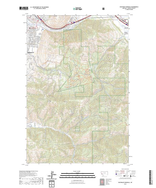
2024 Map of Southeast Missoula
USGS Topo · Published 2024About this map
University of Montana anchors the urban landscape at the base of Mt Sentinel, where the city of Missoula meets the steep western slopes of the Sapphire Mountains. This modern topographic study reveals the intricate street grid of the university district, including University Ave and S 5th St E, alongside significant local landmarks like Holy Spirit Episcopal and the Church Columbarium.
Find a feature on this map
118 named features on this map. Tap any name to fly to it.
Don’t see what you’re looking for? This feature index may not catch every label — zoom into the map to look around manually.
Map Details
Editions of this 2024 Southeast Missoula Map
This is the sole edition of this map. No revisions or reprints were ever made.
Other maps of this area

1903 · Bonner
USGS Topo · 1:125,000

1912 · Missoula
USGS Topo · 1:125,000

1947 · Butte
USGS Topo · 1:250,000

1956 · Hamilton
USGS Topo · 1:250,000

1958 · Butte
USGS Topo · 1:250,000

1959 · Hamilton
USGS Topo · 1:250,000

1959 · Cleveland Mountain
USGS Topo · 1:62,500

1960 · Butte
USGS Topo · 1:250,000

1960 · Hamilton
USGS Topo · 1:250,000

1962 · Butte
USGS Topo · 1:250,000