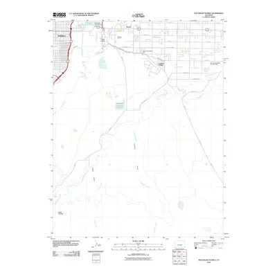
2010 Map of Southeast Pueblo
USGS Topo · Published 2010About this map
The southeastern reaches of Pueblo reveal a complex intersection of industrial water management and residential expansion in this 2010 study. The landscape is defined by the significant irrigation and industrial infrastructure of the Bessemer Ditch, which snakes across the terrain to support the region's historical steel-making legacy, evidenced by the North Mills Clarifying Pond and associated dams. Small, distinct communities like Salt Creek, Blende, and Lombard Village are clustered north of the Saint Charles River, contrasting with the open arroyos and drainage basins to the south. Genealogists and local historians can find precise locations for the expansive Roselawn Cemetery and trace the paths of seasonal waterways such as Thomkins Arroyo and Edson Arroyo as they flow toward the main river valley.
Find a feature on this map
32 named features on this map. Tap any name to fly to it.
Don’t see what you’re looking for? This feature index may not catch every label — zoom into the map to look around manually.
Map Details
Editions of this 2010 Southeast Pueblo Map
This is the sole edition of this map. No revisions or reprints were ever made.
Other maps of this area

1891 · Pueblo
USGS Topo · 1:125,000

1891 · Nepesta
USGS Topo · 1:125,000

1893 · Nepesta
USGS Topo · 1:125,000

1894 · Pueblo
USGS Topo · 1:125,000

1896 · Pueblo
USGS Topo · 1:125,000

1897 · Pueblo
USGS Topo · 1:125,000

1904 · Nepesta
USGS Topo · 1:125,000

1954 · Pueblo
USGS Topo · 1:250,000

1957 · Pueblo
USGS Topo · 1:250,000

1958 · Pueblo
USGS Topo · 1:250,000