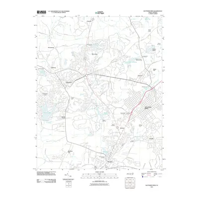
1976 Map of Southern Pines
USGS Topo · Published 1978About this map
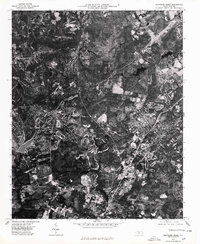
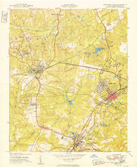
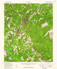
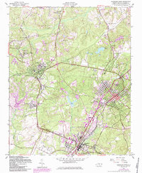
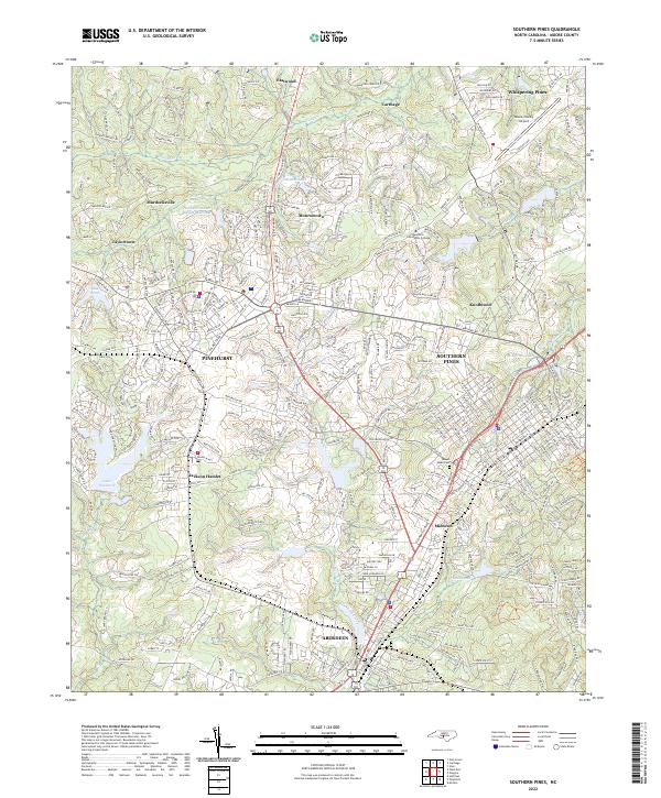
Southern Pines and the surrounding Moore County landscape are captured here in an orthophotoquad format, using aerial photography from early 1976. This specific perspective highlights the intricate patterns of golf courses and residential development that define the region's character, contrasting with the dense wooded tracts and agricultural parcels. The growing suburban reach of Pinehurst and Aberdeen is evident as they expand toward smaller established communities like Taylortown and Manly.
Find a feature on this map
7 named features on this map. Tap any name to fly to it.
Don’t see what you’re looking for? This feature index may not catch every label — zoom into the map to look around manually.
Map Details
Editions of this 1976 Southern Pines Map
This is the sole edition of this map. No revisions or reprints were ever made.
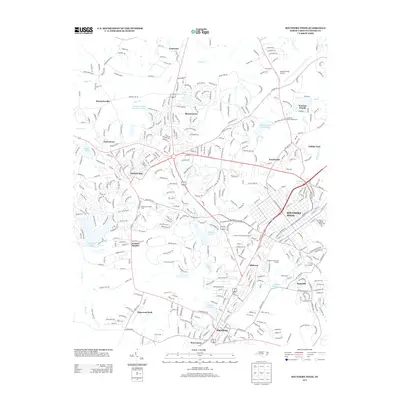
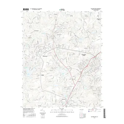
Historical Maps of Pinehurst Through Time
11 maps found

1948 Southern Pines
Moore County, NC
1950 Southern Pines
Moore County, NC
1957 Southern Pines
Moore County, NC
1957 Southern Pines
Moore County, NC
1976 Southern Pines
Moore County, NC

1982 Southern Pines
Moore County, NC
2010 Southern Pines
Moore County, NC
2013 Southern Pines
Moore County, NC
2016 Southern Pines
Moore County, NC
2019 Southern Pines
Moore County, NC
2022 Southern Pines
Moore County, NC