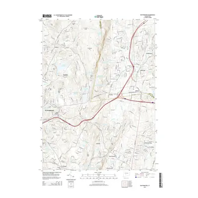
2015 Map of Southington
USGS Topo · Published 2015About this map
Southington Mtn anchors the central ridge of this 2015 landscape, separating the residential growth of Southington and Plantsville in the east from the high-elevation reservoirs of Wolcott to the west. The drainage patterns of the Quinnipiac River and the Tenmile River define the valley floors, while several historic cemeteries such as the Northeast Burying Ground and Olde Burying Ground mark the deep roots of these colonial-era settlements. In the western portion of the quadrangle, the rugged terrain around Becar Hill and Wolf Hill is punctuated by significant water infrastructure, including the New Britain Reservoir and Scoville Reservoir. The transition from the industrial character of Waterbury in the southwest to the smaller hamlets of Marion, Milldale, and Mixville illustrates the varied suburban and rural textures that persist across the Hartford and New Haven County line.
Find a feature on this map
300 named features on this map. Tap any name to fly to it.
Don’t see what you’re looking for? This feature index may not catch every label — zoom into the map to look around manually.
Map Details
Editions of this 2015 Southington Map
This is the sole edition of this map. No revisions or reprints were ever made.
Other maps of this area

1889 · Derby
USGS Topo · 1:62,500

1891 · Derby
USGS Topo · 1:62,500

1892 · New Haven
USGS Topo · 1:62,500

1892 · Meriden
USGS Topo · 1:62,500

1893 · Waterbury
USGS Topo · 1:62,500

1893 · Meriden
USGS Topo · 1:62,500

1893 · Derby
USGS Topo · 1:62,500

1904 · Waterbury
USGS Topo · 1:62,500

1904 · Litchfield
USGS Topo · 1:125,000

1906 · Farmington
USGS Topo · 1:125,000