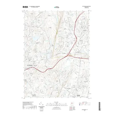
2021 Map of Southington
USGS Topo · Published 2021About this map
The Quinnipiac River and Tenmile River corridors anchor this view of Central Connecticut, where the historic settlements of Plantsville, Milldale, and Southington meet the rising terrain of Southington Mtn. The landscape is a complex mix of dense residential development and essential water management infrastructure, evidenced by the series of upland basins including Southington Reservoir Number 1, Southington Reservoir Number 2, and Southington Reservoir Number 3. These reservoirs, along with Evers Pond and LaCourse Pond, illustrate the region's long-standing reliance on managed water resources for its growing population centers.
Find a feature on this map
79 named features on this map. Tap any name to fly to it.
Don’t see what you’re looking for? This feature index may not catch every label — zoom into the map to look around manually.
Map Details
Editions of this 2021 Southington Map
This is the sole edition of this map. No revisions or reprints were ever made.
Other maps of this area

1889 · Derby
USGS Topo · 1:62,500

1891 · Derby
USGS Topo · 1:62,500

1892 · New Haven
USGS Topo · 1:62,500

1892 · Meriden
USGS Topo · 1:62,500

1893 · Waterbury
USGS Topo · 1:62,500

1893 · Meriden
USGS Topo · 1:62,500

1893 · Derby
USGS Topo · 1:62,500

1904 · Waterbury
USGS Topo · 1:62,500

1904 · Litchfield
USGS Topo · 1:125,000

1906 · Farmington
USGS Topo · 1:125,000