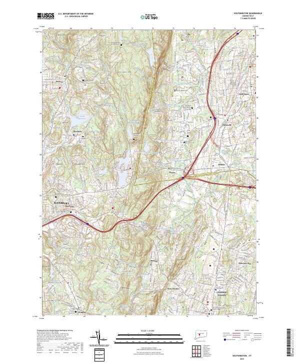
2024 Map of Southington
USGS Topo · Published 2024About this map
Southington Mtn rises as a central ridge dividing this modern Connecticut landscape, where the developed corridors of Southington and Plantsville meet the rolling hills of the Capitol Planning Region. The map reveals a dense network of residential and industrial growth clustered along the Quinnipiac River and Eightmile River. For the local historian, the map preserves several distinct burying grounds, ranging from the South East Burying Ground to the Holy Trinity Polish National Catholic Cem, reflecting the area's diverse cultural and religious lineage. To the west, the landscape transitions toward Wolcott and Woodtick, dominated by the Scovill Reservoir and the Mad River. The integration of modern transportation like the Meriden Waterbury Tpke against older landmarks such as Lindsley Hill illustrates the evolution of this region from its colonial agricultural roots into a modern suburban hub.
Find a feature on this map
99 named features on this map. Tap any name to fly to it.
Don’t see what you’re looking for? This feature index may not catch every label — zoom into the map to look around manually.
Map Details
Editions of this 2024 Southington Map
This is the sole edition of this map. No revisions or reprints were ever made.
Other maps of this area

1889 · Derby
USGS Topo · 1:62,500

1891 · Derby
USGS Topo · 1:62,500

1892 · New Haven
USGS Topo · 1:62,500

1892 · Meriden
USGS Topo · 1:62,500

1893 · Waterbury
USGS Topo · 1:62,500

1893 · Meriden
USGS Topo · 1:62,500

1893 · Derby
USGS Topo · 1:62,500

1904 · Waterbury
USGS Topo · 1:62,500

1904 · Litchfield
USGS Topo · 1:125,000

1906 · Farmington
USGS Topo · 1:125,000