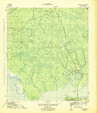
1944 Map of Southport
USGS Topo · Published 1944About this map
North Bay and its complex network of inlets dominate this coastal landscape during the mid-1940s. The settlement of Southport sits at a critical junction where the North Bay Bridge connects the peninsula to the northern mainland. To the south, the growing community of Lynn Haven is established along the shore, featuring the Lynn Haven Golf Course and prominent coastal markers like Mill Pt and Haven Pt.
Find a feature on this map
23 named features on this map. Tap any name to fly to it.
Don’t see what you’re looking for? This feature index may not catch every label — zoom into the map to look around manually.
Map Details
Editions of this 1944 Southport Map
5 editions found
Other maps of this area

1943 · Panama City
USGS Topo · 1:31,680

1943 · Panama City Beach
USGS Topo · 1:31,680

1943 · West Bay
USGS Topo · 1:24,000

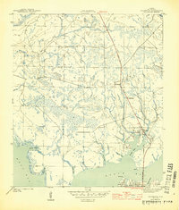
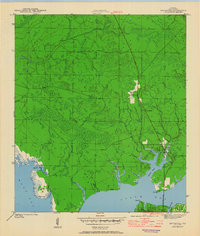
1943 · Southport
USGS Topo · 1:24,000

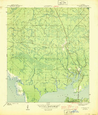
1944 · Southport
USGS Topo · 1:24,000

1944 · West Bay
USGS Topo · 1:31,680

1944 · Crystal Lake
USGS Topo · 1:24,000

1944 · Bayhead
USGS Topo · 1:24,000

1944 · Bennett
USGS Topo · 1:24,000

1945 · Bennett
USGS Topo · 1:31,680