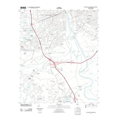
2011 Map of Southwest Columbia
USGS Topo · Published 2011About this map
The Congaree River flows between the growing urban centers of West Columbia and Cayce and the established neighborhoods of Olympia and Wales Garden. This modern survey reveals the dense road network connecting major hubs like the University of South Carolina, where The Horseshoe and Melton Observatory remain as central landmarks. To the west, the infrastructure of the Columbia Metropolitan Airport and the Columbia Speedway highlight the region's mid-century expansion into former farmlands.
Find a feature on this map
161 named features on this map. Tap any name to fly to it.
Don’t see what you’re looking for? This feature index may not catch every label — zoom into the map to look around manually.
Map Details
Editions of this 2011 Southwest Columbia Map
This is the sole edition of this map. No revisions or reprints were ever made.
Other maps of this area

1904 · Columbia
USGS Topo · 1:125,000

1935 · Killian
USGS Topo · 1:48,000

1937 · Killian
USGS Topo · 1:62,500

1941 · Spartanburg
USGS Topo · 1:250,000

1942 · Camden
USGS Topo · 1:125,000

1944 · Edmund
USGS Topo · 1:62,500

1946 · Irmo
USGS Topo · 1:24,000

1947 · Columbia North
USGS Topo · 1:24,000

1948 · Hopkins
USGS Topo · 1:62,500

1948 · Irmo
USGS Topo · 1:24,000