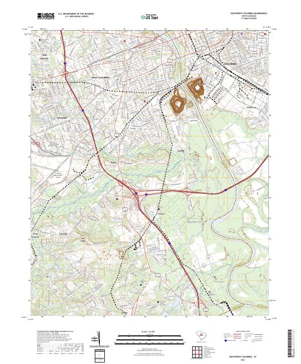
2024 Map of Southwest Columbia
USGS Topo · Published 2024About this map
The Congaree River serves as the primary geographic divider for this region, separating the metropolitan activity of Columbia and Olympia in Richland County from the suburban and rural stretches of Lexington County. The landscape south of West Columbia is characterized by a dense network of residential corridors and essential infrastructure, notably the Columbia Metropolitan Airport and the Midlands Technical College Airport Campus.
Find a feature on this map
60 named features on this map. Tap any name to fly to it.
Don’t see what you’re looking for? This feature index may not catch every label — zoom into the map to look around manually.
Map Details
Editions of this 2024 Southwest Columbia Map
This is the sole edition of this map. No revisions or reprints were ever made.
Other maps of this area

1904 · Columbia
USGS Topo · 1:125,000

1935 · Killian
USGS Topo · 1:48,000

1937 · Killian
USGS Topo · 1:62,500

1941 · Spartanburg
USGS Topo · 1:250,000

1942 · Camden
USGS Topo · 1:125,000

1944 · Edmund
USGS Topo · 1:62,500

1946 · Irmo
USGS Topo · 1:24,000

1947 · Columbia North
USGS Topo · 1:24,000

1948 · Hopkins
USGS Topo · 1:62,500

1948 · Irmo
USGS Topo · 1:24,000