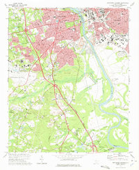
1972 Map of Southwest Columbia
USGS Topo · Published 1975About this map
The Congaree River serves as a geographic and industrial divide in this early 1970s survey, separating the urban sprawl of Columbia and its University of South Carolina from the growing western suburbs. The map captures the significant transportation infrastructure of the era, from the Columbia Metropolitan Airport to the converging lines of the Southern and Seaboard Coast Line railroads. Settlement patterns are dense in West Columbia and Cayce, while the southern reaches near Dixiana and South Congaree maintain a landscape defined by natural drainages like Congaree Creek and industrial operations including several sandpits.
Find a feature on this map
89 named features on this map. Tap any name to fly to it.
Don’t see what you’re looking for? This feature index may not catch every label — zoom into the map to look around manually.
Map Details
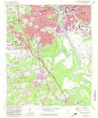
Editions of this 1972 Southwest Columbia Map
2 editions found
Other maps of this area

1904 · Columbia
USGS Topo · 1:125,000

1935 · Killian
USGS Topo · 1:48,000

1937 · Killian
USGS Topo · 1:62,500

1941 · Spartanburg
USGS Topo · 1:250,000

1942 · Camden
USGS Topo · 1:125,000

1944 · Edmund
USGS Topo · 1:62,500

1946 · Irmo
USGS Topo · 1:24,000

1947 · Columbia North
USGS Topo · 1:24,000

1948 · Hopkins
USGS Topo · 1:62,500

1948 · Irmo
USGS Topo · 1:24,000