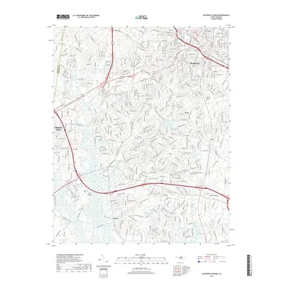
2019 Map of Southwest Durham
USGS Topo · Published 2019About this map
Durham and Chapel Hill's urban expansion meets the established academic and residential corridors of the Research Triangle in this contemporary 2019 survey. The map centers on the Duke University Rd area and the sprawling neighborhoods between the two cities, where modern subdivisions wrap around historical landmarks like Maplewood Cem and Beechwood Cem. To the south, smaller communities such as Lowes Grove and Blands anchor a landscape transitioning from suburban density to more open terrain near Parkwood Lake and Roucroft Lake. The hydrology of the region is well-defined, with Third Fork Cr and New Hope Cr draining the undulating hills. Transportation networks are a dominant feature, showing the dense grid of the Downtown Loop alongside the Norfolk Southern railway lines that historically shaped the region's tobacco and textile industries.
Find a feature on this map
397 named features on this map. Tap any name to fly to it.
Don’t see what you’re looking for? This feature index may not catch every label — zoom into the map to look around manually.
Map Details
Editions of this 2019 Southwest Durham Map
This is the sole edition of this map. No revisions or reprints were ever made.
Other maps of this area

1943 · Durham South
USGS Topo · 1:62,500

1946 · Chapel Hill
USGS Topo · 1:24,000

1947 · Chapel Hill
USGS Topo · 1:31,680

1951 · Farrington
USGS Topo · 1:24,000

1951 · Durham South
USGS Topo · 1:62,500

1951 · Durham North
USGS Topo · 1:62,500

1953 · Raleigh
USGS Topo · 1:250,000

1953 · Greensboro
USGS Topo · 1:250,000

1954 · Greensboro
USGS Topo · 1:250,000

1954 · Raleigh
USGS Topo · 1:250,000