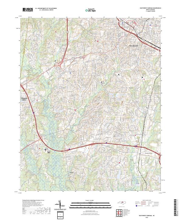
2022 Map of Southwest Durham
USGS Topo · Published 2022About this map
Durham serves as the focal point of this survey, illustrating the extensive urban and academic footprint of the city in the early 21st century. The map highlights the significant campuses of North Carolina Central University and Durham Technical Community College, alongside civic landmarks like the Durham County Courthouse. To the south and west, the landscape transitions from the dense street grids of downtown into residential expansions and smaller settlements such as Lowes Grove, Keene, and Blands.
Find a feature on this map
55 named features on this map. Tap any name to fly to it.
Don’t see what you’re looking for? This feature index may not catch every label — zoom into the map to look around manually.
Map Details
Editions of this 2022 Southwest Durham Map
This is the sole edition of this map. No revisions or reprints were ever made.
Other maps of this area

1943 · Durham South
USGS Topo · 1:62,500

1946 · Chapel Hill
USGS Topo · 1:24,000

1947 · Chapel Hill
USGS Topo · 1:31,680

1951 · Farrington
USGS Topo · 1:24,000

1951 · Durham South
USGS Topo · 1:62,500

1951 · Durham North
USGS Topo · 1:62,500

1953 · Raleigh
USGS Topo · 1:250,000

1953 · Greensboro
USGS Topo · 1:250,000

1954 · Greensboro
USGS Topo · 1:250,000

1954 · Raleigh
USGS Topo · 1:250,000