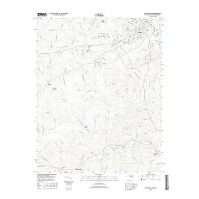
2016 Map of Southwest Eden
USGS Topo · Published 2016About this map
The Dan River snakes through this Rockingham County landscape, serving as a central geographic anchor between the industrial hub of Eden to the northeast and the county seat at Wentworth. This 2016 survey highlights a mix of rural crossroads and growing residential pockets like Sunset Hills, while the southwest corner is marked by the educational grounds of Rockingham Community College. Modern transportation infrastructure is prominent, from the Rockingham County NC Shiloh Airport near Shiloh to the engineered crossings at Settles Bridge and the Rockhouse Creek Bridge. Genealogists will find several well-defined burial grounds including Eden Gardens Cemetery, Providence Cemetery, and Pleasantville Cemetery. The map captures the meeting of major waterways like the Smith River and Matrimony Creek, illustrating the drainage patterns that shaped the region's early settlements and ongoing development.
Find a feature on this map
167 named features on this map. Tap any name to fly to it.
Don’t see what you’re looking for? This feature index may not catch every label — zoom into the map to look around manually.
Map Details
Editions of this 2016 Southwest Eden Map
This is the sole edition of this map. No revisions or reprints were ever made.
Other maps of this area

1924 · Martinsville
USGS Topo · 1:48,000

1924 · Draper
USGS Topo · 1:48,000

1926 · Martinsville
USGS Topo · 1:62,500

1926 · Draper
USGS Topo · 1:62,500

1927 · Martinsville
USGS Topo · 1:62,500

1944 · Martinsville
USGS Topo · 1:62,500

1944 · Draper
USGS Topo · 1:62,500

1953 · Greensboro
USGS Topo · 1:250,000

1954 · Greensboro
USGS Topo · 1:250,000

1962 · Greensboro
USGS Topo · 1:250,000