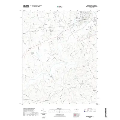
2019 Map of Southwest Eden
USGS Topo · Published 2019About this map
The Dan River snakes through the heart of Rockingham County, carving a path through the rolling landscape between Eden and the county seat at Wentworth. This 2019 survey captures the area's rural character and long-standing family foundations, evidenced by numerous burial grounds such as Providence Cem and Eden Gardens Cem. The infrastructure of the region is defined by crossings and transportation hubs, from the Rockingham County NC Shiloh Airport in the west to significant river crossings like Settles Bridge and the Rockhouse Creek Bridge. Small communities like Shiloh and Pleasantville anchor the surrounding countryside, connected by an intricate network of local roads including Settlement Loop and Godsey Farm Rd. The confluence of the Smith River and the Dan River near Eden highlights the water-driven geography that originally shaped this Piedmont North Carolina region.
Find a feature on this map
172 named features on this map. Tap any name to fly to it.
Don’t see what you’re looking for? This feature index may not catch every label — zoom into the map to look around manually.
Map Details
Editions of this 2019 Southwest Eden Map
This is the sole edition of this map. No revisions or reprints were ever made.
Other maps of this area

1924 · Martinsville
USGS Topo · 1:48,000

1924 · Draper
USGS Topo · 1:48,000

1926 · Martinsville
USGS Topo · 1:62,500

1926 · Draper
USGS Topo · 1:62,500

1927 · Martinsville
USGS Topo · 1:62,500

1944 · Martinsville
USGS Topo · 1:62,500

1944 · Draper
USGS Topo · 1:62,500

1953 · Greensboro
USGS Topo · 1:250,000

1954 · Greensboro
USGS Topo · 1:250,000

1962 · Greensboro
USGS Topo · 1:250,000