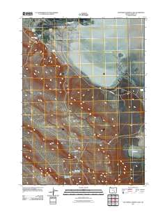
2011 Map of Southwest Harney Lake
USGS Topo · Published 2011About this map
Harney Lake dominates the upper-right quadrant of this high-desert landscape in Harney County, characterized by a complex network of seasonal water sources and named flats. The presence of Moon Ranch in the northwest, situated near Warm Springs Valley, suggests a long-standing reliance on the scattered springs such as Upper Sizemore Spring and Lower Sizemore Spring for livestock and survival in this arid environment. Southward, the terrain transitions into broad basins like Basque Flat, where water management is evident through features like the Basco Spring Reservoir and the Weed Lake Butte/Waterhole. Transportation is limited to a few arterial routes, notably S Harney Rd, which skirts the southern edge of the lake bed, connecting the various flats and remote springs across this sparsely populated region of Oregon.
Find a feature on this map
14 named features on this map. Tap any name to fly to it.
Don’t see what you’re looking for? This feature index may not catch every label — zoom into the map to look around manually.
Map Details
Editions of this 2011 Southwest Harney Lake Map
This is the sole edition of this map. No revisions or reprints were ever made.
Other maps of this area

1955 · Burns
USGS Topo · 1:250,000

1958 · Burns
USGS Topo · 1:250,000

1959 · Burns
USGS Topo · 1:250,000

1959 · Dog Mountain
USGS Topo · 1:62,500
1980 · Hughet Spring
USGS Topo · 1:24,000
1980 · Meadow Lake
USGS Topo · 1:24,000
1980 · Twin Buttes
USGS Topo · 1:24,000
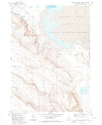
1980 · Southwest Harney Lake
USGS Topo · 1:24,000

1980 · Stinking Lake
USGS Topo · 1:24,000
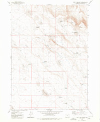
1980 · Weed Lake Butte
USGS Topo · 1:24,000