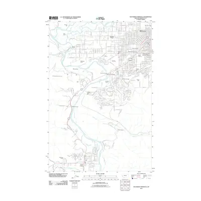
2011 Map of Southwest Missoula
USGS Topo · Published 2011About this map
The Bitterroot River winds through this 2011 survey, defining the landscape between the southern outskirts of Missoula and the community of Lolo. The suburban and rural character of the valley is evident in the transition from the Missoula County Fairgrounds and the College of Technology of the University of Montana - Missoula toward the residential pockets of Orchard Homes and South Hills. Notable cultural landmarks include the Memorial Rose Garden and the historic Post Cemetery, while the northern portion is marked by the confluence of the river with the Clark Fork. Several river crossings are documented, including the Buckhouse Bridge and Maclay Bridge. The terrain shifts from the flat Maclay Flats to distinctive elevations such as McCauley Butte and Council Hill, while the southwestern corner follows the West Fork Lolo Creek into more varied topography, including Deadman Gulch and Andrews Gulch.
Find a feature on this map
36 named features on this map. Tap any name to fly to it.
Don’t see what you’re looking for? This feature index may not catch every label — zoom into the map to look around manually.
Map Details
Editions of this 2011 Southwest Missoula Map
This is the sole edition of this map. No revisions or reprints were ever made.
Other maps of this area

1903 · Bonner
USGS Topo · 1:125,000

1912 · Missoula
USGS Topo · 1:125,000

1947 · Butte
USGS Topo · 1:250,000

1956 · Hamilton
USGS Topo · 1:250,000

1958 · Butte
USGS Topo · 1:250,000

1959 · Hamilton
USGS Topo · 1:250,000

1959 · Cleveland Mountain
USGS Topo · 1:62,500

1960 · Butte
USGS Topo · 1:250,000

1960 · Hamilton
USGS Topo · 1:250,000

1962 · Butte
USGS Topo · 1:250,000