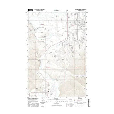
2014 Map of Southwest Missoula
USGS Topo · Published 2014About this map
Orchard Homes and the southwestern reaches of Missoula are defined by the convergence of the Clark Fork and the Bitterroot River. This 2014 topographic study documents the interface between urban expansion and the preserved lands of the Lolo National Forest. The landscape is a complex network of waterways and low-lying features like Plummers Slough and Doyles Slough, alongside prominent terrain markers such as McCauley Butte and Council Hill.
Find a feature on this map
52 named features on this map. Tap any name to fly to it.
Don’t see what you’re looking for? This feature index may not catch every label — zoom into the map to look around manually.
Map Details
Editions of this 2014 Southwest Missoula Map
This is the sole edition of this map. No revisions or reprints were ever made.
Other maps of this area

1903 · Bonner
USGS Topo · 1:125,000

1912 · Missoula
USGS Topo · 1:125,000

1947 · Butte
USGS Topo · 1:250,000

1956 · Hamilton
USGS Topo · 1:250,000

1958 · Butte
USGS Topo · 1:250,000

1959 · Hamilton
USGS Topo · 1:250,000

1959 · Cleveland Mountain
USGS Topo · 1:62,500

1960 · Butte
USGS Topo · 1:250,000

1960 · Hamilton
USGS Topo · 1:250,000

1962 · Butte
USGS Topo · 1:250,000