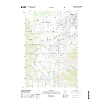
2020 Map of Southwest Missoula
USGS Topo · Published 2020About this map
The Bitterroot River and Clark Fork converge in this western Montana landscape, shaping the development of Missoula and its outlying communities. The residential expansion into Orchard Homes and south toward Lolo is clearly defined, showing the interface between the urban grid and the natural boundaries of the Lolo National Forest. This modern topography documents critical river crossings like the Maclay Bridge and the Bitterroot River Bridge, which anchor the transport network across the valley floor.
Find a feature on this map
44 named features on this map. Tap any name to fly to it.
Don’t see what you’re looking for? This feature index may not catch every label — zoom into the map to look around manually.
Map Details
Editions of this 2020 Southwest Missoula Map
This is the sole edition of this map. No revisions or reprints were ever made.
Other maps of this area

1903 · Bonner
USGS Topo · 1:125,000

1912 · Missoula
USGS Topo · 1:125,000

1947 · Butte
USGS Topo · 1:250,000

1956 · Hamilton
USGS Topo · 1:250,000

1958 · Butte
USGS Topo · 1:250,000

1959 · Hamilton
USGS Topo · 1:250,000

1959 · Cleveland Mountain
USGS Topo · 1:62,500

1960 · Butte
USGS Topo · 1:250,000

1960 · Hamilton
USGS Topo · 1:250,000

1962 · Butte
USGS Topo · 1:250,000