
1958 Map of Spain
USGS Topo · Published 1958About this map
Spain serves as the small rail hub for this section of Marshall County, situated along the Chicago Milwaukee St Paul and Pacific railroad. The landscape is defined by the township boundaries of Weston, Lowell, Newport, and Hickman, showing a grid of section lines characteristic of the Missouri River Basin development era. Educational centers are distributed across the rural terrain, including School No 1 in the north and multiple instances of School No 2 further south.
Find a feature on this map
11 named features on this map. Tap any name to fly to it.
Don’t see what you’re looking for? This feature index may not catch every label — zoom into the map to look around manually.
Map Details
Editions of this 1958 Spain Map
This is the sole edition of this map. No revisions or reprints were ever made.
Other maps of this area

1953 · Britton East
USGS Topo · 1:24,000

1953 · Newark SW
USGS Topo · 1:24,000

1953 · Milbank
USGS Topo · 1:250,000

1956 · Britton West
USGS Topo · 1:24,000

1958 · Milbank
USGS Topo · 1:250,000

1958 · Britton 4 NW
USGS Topo · 1:24,000

1958 · Britton 4 SW
USGS Topo · 1:24,000
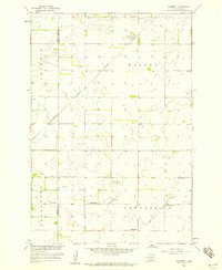
1958 · Amherst
USGS Topo · 1:24,000

1958 · Langford
USGS Topo · 1:24,000
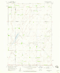
1958 · Langford SW
USGS Topo · 1:24,000