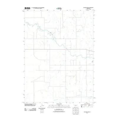
2011 Map of Spalding NW
USGS Topo · Published 2011About this map
The Cedar River meanders across this rural section of Greeley County, defining the local drainage and topography in the early 21st century. This region of central Nebraska is characterized by a sparse road network and dispersed agricultural operations, with Freeman Creek flowing through the southern portion of the quadrangle. The map captures the quiet persistence of the Plains landscape, where major waterways and rural routes like Road P8 remain the primary landmarks. This survey serves as a clean record of the land's hydrology and modern parcel divisions, showing the enduring nature of the river valleys in an area largely defined by its open space and water resources.
Find a feature on this map
3 named features on this map. Tap any name to fly to it.
Don’t see what you’re looking for? This feature index may not catch every label — zoom into the map to look around manually.
Map Details
Editions of this 2011 Spalding NW Map
This is the sole edition of this map. No revisions or reprints were ever made.
Other maps of this area

1954 · Greeley NE
USGS Topo · 1:24,000

1954 · Greeley
USGS Topo · 1:24,000

1954 · Spalding
USGS Topo · 1:24,000

1954 · Spalding SW
USGS Topo · 1:24,000

1954 · Spalding NW
USGS Topo · 1:24,000

1954 · Bartlett SE
USGS Topo · 1:24,000

1954 · Spalding SE
USGS Topo · 1:24,000

1955 · Broken Bow
USGS Topo · 1:250,000

1956 · Broken Bow
USGS Topo · 1:250,000

1960 · Spalding 2 SW
USGS Topo · 1:24,000