
1954 Map of Greeley NE
USGS Topo · Published 1955About this map
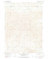
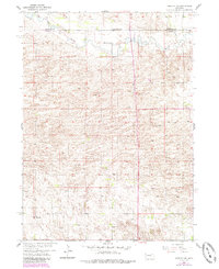
Cedar River meanders across the northern portion of this landscape, carving a fertile valley through the Nebraska sandhills near the border of Wheeler and Greeley counties. In the mid-1950s, this area remained primarily agricultural, defined by rural infrastructure such as School No 23, School No 29, and School No 34. The small settlement of Belfast sits in the southwest corner, positioned along an Old Railroad Grade that speaks to the shifting transportation priorities of the era. The presence of Cedar Valley Ch and scattered Windmill sites across the hills of Clear Creek and Freeman Valley highlights the dispersed nature of local ranching life. This survey was conducted as part of the Department of the Interior program for the development of the Missouri River Basin, providing a detailed look at the hydrology of Clear Mud Creek and the heights of Mount Nebo.
Find a feature on this map
14 named features on this map. Tap any name to fly to it.
Don’t see what you’re looking for? This feature index may not catch every label — zoom into the map to look around manually.
Map Details
Editions of this 1954 Greeley NE Map
3 editions found
Other maps of this area

1954 · Horace
USGS Topo · 1:24,000

1954 · Greeley
USGS Topo · 1:24,000

1954 · Greeley NW
USGS Topo · 1:24,000

1954 · Spalding SW
USGS Topo · 1:24,000

1954 · Spalding NW
USGS Topo · 1:24,000

1954 · Bartlett SE
USGS Topo · 1:24,000

1954 · Ericson
USGS Topo · 1:24,000

1955 · Broken Bow
USGS Topo · 1:250,000

1956 · Broken Bow
USGS Topo · 1:250,000

1960 · Spalding 2 SW
USGS Topo · 1:24,000