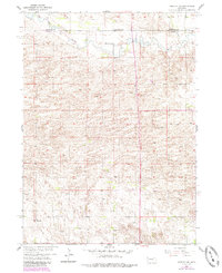
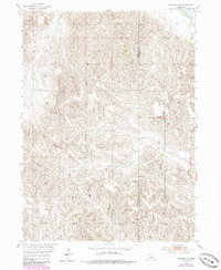
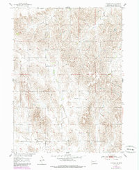
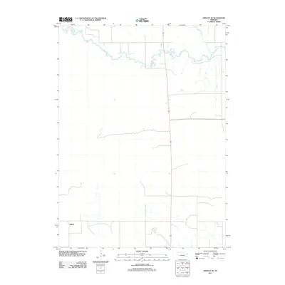
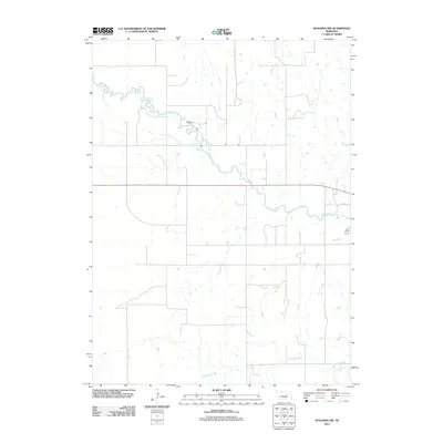
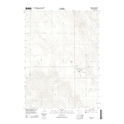
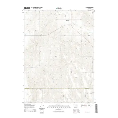
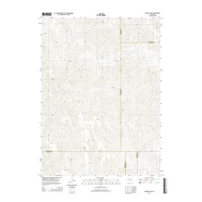
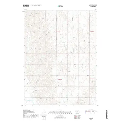
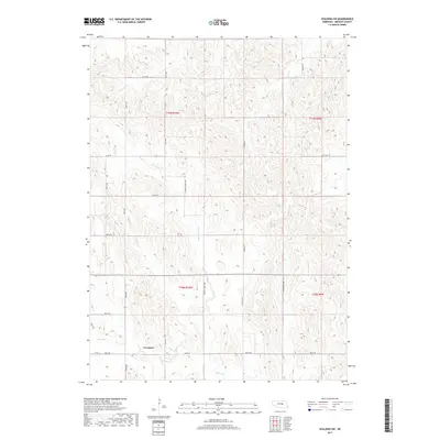
1954 Map of Greeley NE
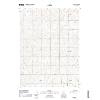
USGS Topo · Published 1985About this map
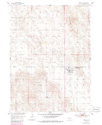
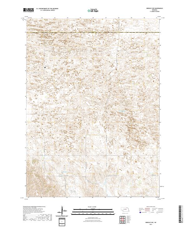
The Cedar River meanders across the northern reaches of this rural landscape, marking the boundary between Wheeler and Greeley counties. This mid-century survey captures a transition in the local infrastructure, notably featuring an Old Railroad Grade that speaks to the changing transportation networks in central Nebraska. In the southern portion of the quadrangle, the small settlement of Belfast remains a point of interest for local history, while the rural interior is dotted with legacy landmarks like Cedar Valley Ch and School No 23. The topography is characterized by the intricate drainage patterns of Clear Creek and numerous hills, where small Windmill sites indicate the importance of water management for the region’s agricultural life during the 1950s.
Find a feature on this map
9 named features on this map. Tap any name to fly to it.
Don’t see what you’re looking for? This feature index may not catch every label — zoom into the map to look around manually.
Map Details
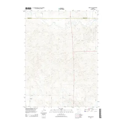
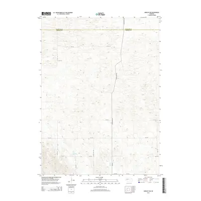
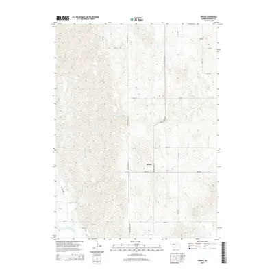
Editions of this 1954 Greeley NE Map
3 editions found
Historical Maps of Belfast Through Time
45 maps found
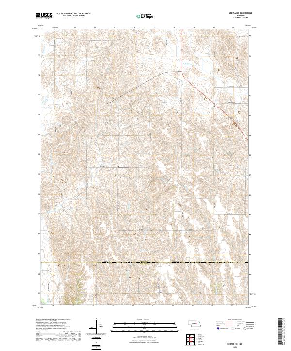
1953 Scotia NE
Greeley County, NE
1954 Greeley
Greeley County, NE
1954 Greeley NE
Greeley County, NE
1954 Greeley NW
Greeley County, NE
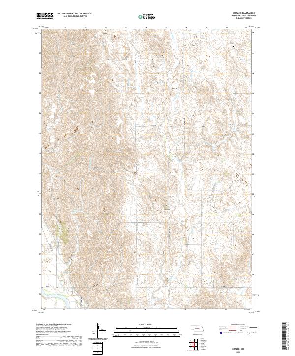
1954 Horace
Greeley County, NE
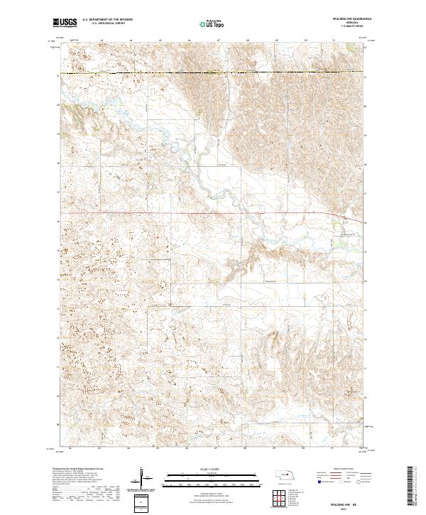
1954 Spalding NW
Greeley County, NE
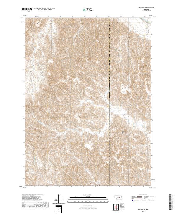
1954 Spalding SE
Greeley County, NE
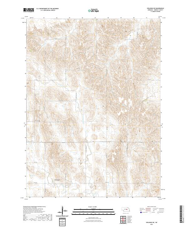
1954 Spalding SW
Greeley County, NE
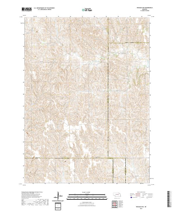
1954 Wolbach NE
Greeley County, NE
2011 Greeley
Greeley County, NE
2011 Greeley NE
Greeley County, NE
2011 Greeley NW
Greeley County, NE
2011 Horace
Greeley County, NE
2011 Scotia NE
Greeley County, NE
2011 Spalding NW
Greeley County, NE
2011 Spalding SE
Greeley County, NE
2011 Spalding SW
Greeley County, NE
2011 Wolbach NE
Greeley County, NE
2014 Greeley
Greeley County, NE
2014 Greeley NE
Greeley County, NE
2014 Greeley NW
Greeley County, NE
2014 Horace
Greeley County, NE
2014 Scotia NE
Greeley County, NE
2014 Spalding NW
Greeley County, NE
2014 Spalding SE
Greeley County, NE
2014 Spalding SW
Greeley County, NE
2014 Wolbach NE
Greeley County, NE
2017 Greeley
Greeley County, NE
2017 Greeley NE
Greeley County, NE
2017 Greeley NW
Greeley County, NE
2017 Horace
Greeley County, NE
2017 Scotia NE
Greeley County, NE
2017 Spalding NW
Greeley County, NE
2017 Spalding SE
Greeley County, NE
2017 Spalding SW
Greeley County, NE
2017 Wolbach NE
Greeley County, NE
2021 Greeley
Greeley County, NE
2021 Greeley NE
Greeley County, NE
2021 Greeley NW
Greeley County, NE
2021 Horace
Greeley County, NE
2021 Scotia NE
Greeley County, NE
2021 Spalding NW
Greeley County, NE
2021 Spalding SE
Greeley County, NE
2021 Spalding SW
Greeley County, NE
2021 Wolbach NE
Greeley County, NE