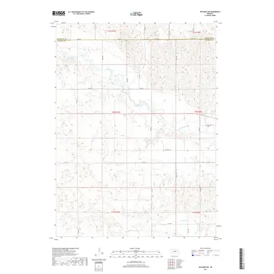
2017 Map of Spalding NW
USGS Topo · Published 2017About this map
The Cedar River meanders across the rural landscape of Greeley and Wheeler counties, carving a distinctive path through the sandhills of central Nebraska. This 2017 survey details the section-line road network that defines the region, including Three Mile Rd and 817th Rd, providing a precise look at the modern rural infrastructure. To the south, the terrain is drained by Freeman Cr and Troy Cr, illustrating the complex hydrology that supports the area's agricultural character. Local landmarks such as College Inn Rd provide specific reference points for those tracing property boundaries or navigating the township and range system across the border of Wheeler and Greeley counties.
Find a feature on this map
18 named features on this map. Tap any name to fly to it.
Don’t see what you’re looking for? This feature index may not catch every label — zoom into the map to look around manually.
Map Details
Editions of this 2017 Spalding NW Map
This is the sole edition of this map. No revisions or reprints were ever made.
Other maps of this area

1954 · Greeley NE
USGS Topo · 1:24,000

1954 · Greeley
USGS Topo · 1:24,000

1954 · Spalding
USGS Topo · 1:24,000

1954 · Spalding SW
USGS Topo · 1:24,000

1954 · Spalding NW
USGS Topo · 1:24,000

1954 · Bartlett SE
USGS Topo · 1:24,000

1954 · Spalding SE
USGS Topo · 1:24,000

1955 · Broken Bow
USGS Topo · 1:250,000

1956 · Broken Bow
USGS Topo · 1:250,000

1960 · Spalding 2 SW
USGS Topo · 1:24,000