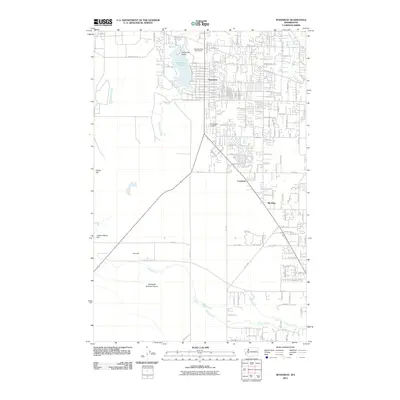
2011 Map of Spanaway
USGS Topo · Published 2011About this map
Spanaway Lake serves as a central landmark for this part of Pierce County, with Enchanted Island and the Lake Spanaway Golf Course defining its northern shores. The landscape reflects a mix of suburban development and extensive military grounds, as a significant portion of the southern area is occupied by Fort Lewis. This military presence is underscored by the Thirteenth Division Prairie and the tactical road network including Perimeter Rd and Military Rd S.
Find a feature on this map
70 named features on this map. Tap any name to fly to it.
Don’t see what you’re looking for? This feature index may not catch every label — zoom into the map to look around manually.
Map Details
Editions of this 2011 Spanaway Map
This is the sole edition of this map. No revisions or reprints were ever made.
Other maps of this area

1897 · Tacoma
USGS Topo · 1:125,000

1900 · Tacoma
USGS Topo · 1:125,000

1916 · Chehalis
USGS Topo · 1:125,000

1937 · Eatonville
USGS Topo · 1:125,000

1940 · Anderson Island
USGS Topo · 1:62,500

1941 · Tanwax Lake
USGS Topo · 1:62,500

1941 · Tacoma South
USGS Topo · 1:62,500

1944 · Tacoma South
USGS Topo · 1:62,500

1944 · Yelm
USGS Topo · 1:62,500

1944 · Ohop Valley
USGS Topo · 1:62,500