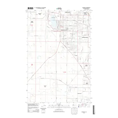
2014 Map of Spanaway
USGS Topo · Published 2014About this map
Spanaway Lake serves as a central geographic anchor for this South Puget Sound landscape, with Enchanted Island situated within its waters. The surrounding area demonstrates the significant influence of military activity and suburban growth south of Tacoma, bounded by the expansive grounds of Fort Lewis and the northern edge of McChord AFB. Residential patterns are tightly gridded in Parkland and the Spanaway town center, while moving southward towards South Creek and the Thirteenth Division Prairie, the terrain transitions into more open acreage and scattered settlements like Elk Plain. The map documents a complex drainage system where Spanaway Cr and Clover Cr navigate through the developed corridors. Notable transportation and utility features include the Spanaway Airport and a network of arterial roads like Pacific Ave S that connect these growing communities.
Find a feature on this map
114 named features on this map. Tap any name to fly to it.
Don’t see what you’re looking for? This feature index may not catch every label — zoom into the map to look around manually.
Map Details
Editions of this 2014 Spanaway Map
This is the sole edition of this map. No revisions or reprints were ever made.
Other maps of this area

1897 · Tacoma
USGS Topo · 1:125,000

1900 · Tacoma
USGS Topo · 1:125,000

1916 · Chehalis
USGS Topo · 1:125,000

1937 · Eatonville
USGS Topo · 1:125,000

1940 · Anderson Island
USGS Topo · 1:62,500

1941 · Tanwax Lake
USGS Topo · 1:62,500

1941 · Tacoma South
USGS Topo · 1:62,500

1944 · Tacoma South
USGS Topo · 1:62,500

1944 · Yelm
USGS Topo · 1:62,500

1944 · Ohop Valley
USGS Topo · 1:62,500