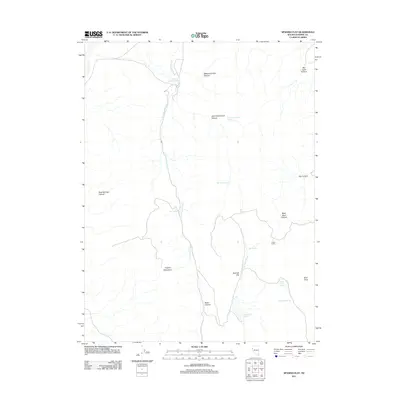
2011 Map of Spanish Flat
USGS Topo · Published 2011About this map
The Virginia Mountains dominate the western portion of this high-desert landscape in Washoe County, where seasonal drainage and isolated water sources define the geography. Central to the area is Spanish Flat, a distinctive level terrain feature flanked by Dry Valley Creek and the Spanish Flat Reservoir. The naming conventions found here, such as Picket Corral and Telephone Pole Canyon, suggest a history of ranching and early communication infrastructure across the arid Nevada interior.
Find a feature on this map
22 named features on this map. Tap any name to fly to it.
Don’t see what you’re looking for? This feature index may not catch every label — zoom into the map to look around manually.
Map Details
Editions of this 2011 Spanish Flat Map
This is the sole edition of this map. No revisions or reprints were ever made.
Other maps of this area

1886 · Granite Range
USGS Topo · 1:250,000

1891 · Reno
USGS Topo · 1:125,000

1893 · Reno
USGS Topo · 1:125,000

1894 · Granite Range
USGS Topo · 1:250,000

1955 · Lovelock
USGS Topo · 1:250,000

1957 · Sutcliffe
USGS Topo · 1:62,500

1957 · Dogskin Mountain
USGS Topo · 1:62,500

1957 · Reno
USGS Topo · 1:250,000

1959 · Lovelock
USGS Topo · 1:250,000

1959 · Reno
USGS Topo · 1:250,000