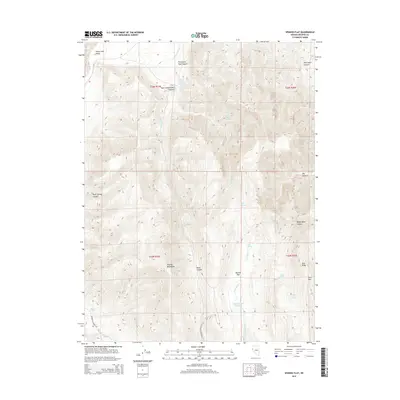
2015 Map of Spanish Flat
USGS Topo · Published 2015About this map
The Virginia Mountains dominate the central topography of this Nevada landscape, transitioning eastward toward the broad expanse of Spanish Flat. This 2015 survey reveals a high-desert environment defined by complex drainage systems and critical water sources, such as Spanish Flat Reservoir and Mocho Spring Number One. The map captures a transition from the elevated peaks of Tule Ridge and Scott Pass down into the northern reaches of the Honey Lake Valley. Movement through this arid terrain is guided by Winnemucca Ranch Rd and a network of named canyons, including Black Canyon and Telephone Pole Canyon. Local history and land use are etched into the nomenclature of numerous seasonal and perennial water features like Government Trough Spring and Salt Cabin Spring, which have historically sustained cattle and travelers in the Washoe County backcountry.
Find a feature on this map
29 named features on this map. Tap any name to fly to it.
Don’t see what you’re looking for? This feature index may not catch every label — zoom into the map to look around manually.
Map Details
Editions of this 2015 Spanish Flat Map
This is the sole edition of this map. No revisions or reprints were ever made.
Other maps of this area

1886 · Granite Range
USGS Topo · 1:250,000

1891 · Reno
USGS Topo · 1:125,000

1893 · Reno
USGS Topo · 1:125,000

1894 · Granite Range
USGS Topo · 1:250,000

1955 · Lovelock
USGS Topo · 1:250,000

1957 · Sutcliffe
USGS Topo · 1:62,500

1957 · Dogskin Mountain
USGS Topo · 1:62,500

1957 · Reno
USGS Topo · 1:250,000

1959 · Lovelock
USGS Topo · 1:250,000

1959 · Reno
USGS Topo · 1:250,000