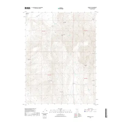
2018 Map of Spanish Flat
USGS Topo · Published 2018About this map
Spanish Flat sits at the base of the Virginia Mountains, a high-desert landscape defined by complex drainages and a network of named springs essential to this arid region. The terrain is deeply incised by features like Black Canyon and Red Light Canyon, while Tule Ridge and Scott Pass dominate the eastern elevations. Water sources are meticulously documented, including Mocho Spring Number One, Newcome Spring, and the Government Trough Spring, indicating the vital importance of these points for ranching or wildlife in the high Great Basin. The presence of Fish Springs Rd in the north and the reach of Honey Lake Valley suggest the historical and modern connectivity of this remote part of Washoe County. The map provides a clear look at the public land survey system, with township lines for T25N and T26N dividing the slopes of East Cottonwood Canyon and the surrounding peaks.
Find a feature on this map
28 named features on this map. Tap any name to fly to it.
Don’t see what you’re looking for? This feature index may not catch every label — zoom into the map to look around manually.
Map Details
Editions of this 2018 Spanish Flat Map
This is the sole edition of this map. No revisions or reprints were ever made.
Other maps of this area

1886 · Granite Range
USGS Topo · 1:250,000

1891 · Reno
USGS Topo · 1:125,000

1893 · Reno
USGS Topo · 1:125,000

1894 · Granite Range
USGS Topo · 1:250,000

1955 · Lovelock
USGS Topo · 1:250,000

1957 · Sutcliffe
USGS Topo · 1:62,500

1957 · Dogskin Mountain
USGS Topo · 1:62,500

1957 · Reno
USGS Topo · 1:250,000

1959 · Lovelock
USGS Topo · 1:250,000

1959 · Reno
USGS Topo · 1:250,000