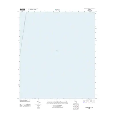
2012 Map of Spanish Fort NE
USGS Topo · Published 2012About this map
Lake Pontchartrain dominates this maritime survey, illustrating the vast open waters of the basin north of New Orleans. The most prominent human-made feature is the Lake Pontchartrain Causeway, which cuts a nearly vertical path across the western edge of the sheet. At this scale, the map provides a precise record of this critical transportation corridor as it appeared in the early 21st century. Because this specific quadrangle covers a primarily aquatic area, it serves as a specialized reference for the navigation and infrastructure within this portion of the lake.
Find a feature on this map
2 named features on this map. Tap any name to fly to it.
Don’t see what you’re looking for? This feature index may not catch every label — zoom into the map to look around manually.
Map Details
Editions of this 2012 Spanish Fort NE Map
This is the sole edition of this map. No revisions or reprints were ever made.
Other maps of this area

1891 · Spanish Fort
USGS Topo · 1:62,500

1892 · Chef Menteur
USGS Topo · 1:62,500

1935 · Slidell
USGS Topo · 1:62,500

1935 · Covington
USGS Topo · 1:62,500

1936 · South Point
USGS Topo · 1:31,680

1936 · Chef Menteur
USGS Topo · 1:62,500

1936 · Spanish Fort
USGS Topo · 1:62,500

1938 · Little Woods
USGS Topo · 1:31,680
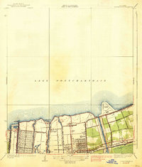
1938 · Spanish Fort
USGS Topo · 1:31,680
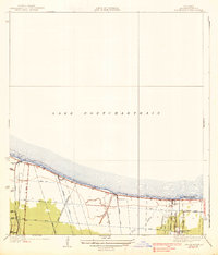
1938 · Indian Beach
USGS Topo · 1:31,680