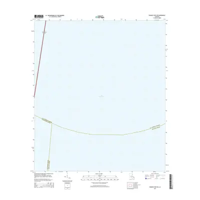
2015 Map of Spanish Fort NE
USGS Topo · Published 2015About this map
Lake Pontchartrain dominates this maritime survey, illustrating the vast open waters north of New Orleans in the mid-2010s. The map provides a focused look at the convergence of three jurisdictional boundaries—St. Tammany Parish, Jefferson Parish, and Orleans Parish—which meet within the lake's basin. This intersection highlights the complex administrative geography of the region, where water often serves as the primary dividing line between coastal parishes. In the northwest corner, the Lake Pontchartrain Causeway is visible as it begins its long transit across the water, representing a critical engineering link for the metropolitan area. The absence of landmass on this sheet emphasizes the importance of the lake as a central geographical feature and a boundary-defining element for the surrounding communities.
Find a feature on this map
5 named features on this map. Tap any name to fly to it.
Don’t see what you’re looking for? This feature index may not catch every label — zoom into the map to look around manually.
Map Details
Editions of this 2015 Spanish Fort NE Map
This is the sole edition of this map. No revisions or reprints were ever made.
Other maps of this area

1891 · Spanish Fort
USGS Topo · 1:62,500

1892 · Chef Menteur
USGS Topo · 1:62,500

1935 · Slidell
USGS Topo · 1:62,500

1935 · Covington
USGS Topo · 1:62,500

1936 · South Point
USGS Topo · 1:31,680

1936 · Chef Menteur
USGS Topo · 1:62,500

1936 · Spanish Fort
USGS Topo · 1:62,500

1938 · Little Woods
USGS Topo · 1:31,680
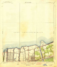
1938 · Spanish Fort
USGS Topo · 1:31,680
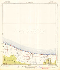
1938 · Indian Beach
USGS Topo · 1:31,680