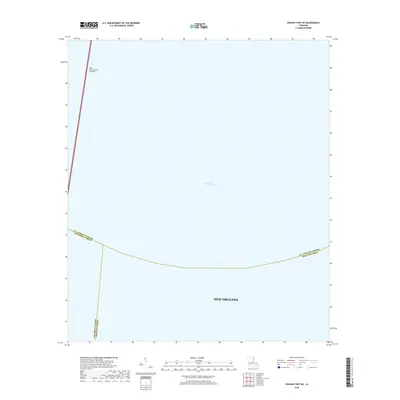
2018 Map of Spanish Fort NE
USGS Topo · Published 2018About this map
Lake Pontchartrain dominates this 2018 survey, illustrating the maritime and jurisdictional complexity of the waters north of New Orleans. The map highlights the aquatic expanse where the boundaries of St. Tammany Parish, Jefferson Parish, and Orleans Parish converge in the center of the lake. This edition focuses on the open water and its essential transportation links rather than the dense urban grid, providing a clear view of the Lake Pontchartrain Causeway as it cuts across the western portion of the sheet. It serves as a modern record of the parish lines that divide this vital Louisiana waterway.
Find a feature on this map
6 named features on this map. Tap any name to fly to it.
Don’t see what you’re looking for? This feature index may not catch every label — zoom into the map to look around manually.
Map Details
Editions of this 2018 Spanish Fort NE Map
This is the sole edition of this map. No revisions or reprints were ever made.
Other maps of this area

1891 · Spanish Fort
USGS Topo · 1:62,500

1892 · Chef Menteur
USGS Topo · 1:62,500

1935 · Slidell
USGS Topo · 1:62,500

1935 · Covington
USGS Topo · 1:62,500

1936 · South Point
USGS Topo · 1:31,680

1936 · Chef Menteur
USGS Topo · 1:62,500

1936 · Spanish Fort
USGS Topo · 1:62,500

1938 · Little Woods
USGS Topo · 1:31,680
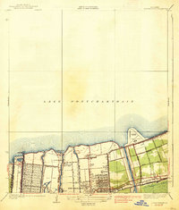
1938 · Spanish Fort
USGS Topo · 1:31,680
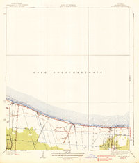
1938 · Indian Beach
USGS Topo · 1:31,680