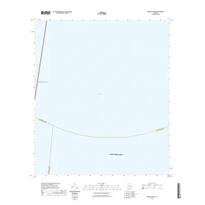
2020 Map of Spanish Fort NE
USGS Topo · Published 2020About this map
Lake Pontchartrain dominates this perspective of the Louisiana coast, where the urban boundaries of New Orleans meet the open water. This maritime environment is defined by its massive scale and the critical transport links that bridge the parishes. The most prominent structural feature is the Lake Pontchartrain Causeway, a vital artery extending from the southern shore into the center of the lake. The map reveals the intricate aquatic boundaries where St. Tammany Parish, Jefferson Parish, and Orleans Parish converge over the water, illustrating the complex jurisdictional landscape of the region just north of the city center.
Find a feature on this map
6 named features on this map. Tap any name to fly to it.
Don’t see what you’re looking for? This feature index may not catch every label — zoom into the map to look around manually.
Map Details
Editions of this 2020 Spanish Fort NE Map
This is the sole edition of this map. No revisions or reprints were ever made.
Other maps of this area

1891 · Spanish Fort
USGS Topo · 1:62,500

1892 · Chef Menteur
USGS Topo · 1:62,500

1935 · Slidell
USGS Topo · 1:62,500

1935 · Covington
USGS Topo · 1:62,500

1936 · South Point
USGS Topo · 1:31,680

1936 · Chef Menteur
USGS Topo · 1:62,500

1936 · Spanish Fort
USGS Topo · 1:62,500

1938 · Little Woods
USGS Topo · 1:31,680
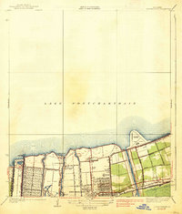
1938 · Spanish Fort
USGS Topo · 1:31,680
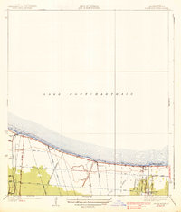
1938 · Indian Beach
USGS Topo · 1:31,680