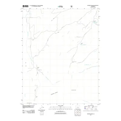
2011 Map of Spanish Peaks
USGS Topo · Published 2011About this map
The Spanish Peaks dominate this landscape, rising above a network of canyons and high-altitude water systems in southern Colorado. The map documents significant geological and recreational landmarks, ranging from the sheer verticality of Big Wall and Lovers Leap to the high summits of East Spanish Peak and West Spanish Peak. Water management is central to the area's geography, evidenced by the Salas Ditch Reservoir and its associated Salas Ditch Dam, as well as the Brunelli Reservoir and Bear Lake. Local resource extraction history is represented by the Bulls Eye Mine, located near the headwaters of School Creek. The presence of Wahatoya Camp and the Santa Fe Trail Council Camp highlights the era's focus on backcountry recreation and organized scouting within the vicinity of Wahatoya Creek and Long Canyon.
Find a feature on this map
34 named features on this map. Tap any name to fly to it.
Don’t see what you’re looking for? This feature index may not catch every label — zoom into the map to look around manually.
Map Details
Editions of this 2011 Spanish Peaks Map
This is the sole edition of this map. No revisions or reprints were ever made.
Other maps of this area

1889 · Huerfano Park
USGS Topo · 1:125,000

1891 · Walsenburg
USGS Topo · 1:125,000

1891 · Spanish Peaks
USGS Topo · 1:125,000

1892 · Huerfano Park
USGS Topo · 1:125,000

1893 · Spanish Peaks
USGS Topo · 1:125,000

1894 · Walsenburg
USGS Topo · 1:125,000

1895 · Spanish Peaks
USGS Topo · 1:125,000

1897 · Walsenburg
USGS Topo · 1:125,000

1897 · Spanish Peaks
USGS Topo · 1:125,000

1900 · Spanish Peaks
USGS Topo · 1:125,000