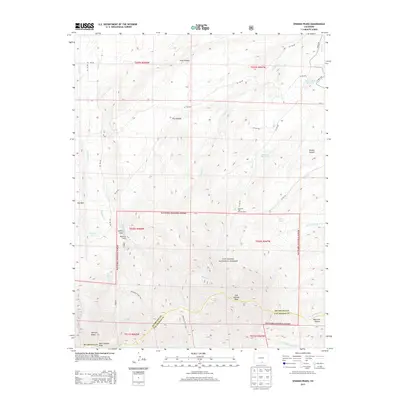
2013 Map of Spanish Peaks
USGS Topo · Published 2013About this map
East Spanish Peak and West Spanish Peak dominate this landscape within the San Isabel National Forest, where the border between Huerfano and Las Animas counties meets. The high-elevation terrain is marked by dramatic geological formations such as Big Wall and Lovers Leap, alongside numerous drainages like Wahatoya Cr and Story Cr. Evidence of human recreation and water management is clear through the presence of the Santa Fe Trail Council Camp, Wahatoya Camp, and reservoirs like Salas Ditch Reservoir. The map details a network of forest roads and trails, including Wahatoya Trail 1304, which provide access to remote areas like Bear Lake and the various canyons that define the southern Colorado wilderness during this modern era of land management.
Find a feature on this map
42 named features on this map. Tap any name to fly to it.
Don’t see what you’re looking for? This feature index may not catch every label — zoom into the map to look around manually.
Map Details
Editions of this 2013 Spanish Peaks Map
This is the sole edition of this map. No revisions or reprints were ever made.
Other maps of this area

1889 · Huerfano Park
USGS Topo · 1:125,000

1891 · Walsenburg
USGS Topo · 1:125,000

1891 · Spanish Peaks
USGS Topo · 1:125,000

1892 · Huerfano Park
USGS Topo · 1:125,000

1893 · Spanish Peaks
USGS Topo · 1:125,000

1894 · Walsenburg
USGS Topo · 1:125,000

1895 · Spanish Peaks
USGS Topo · 1:125,000

1897 · Walsenburg
USGS Topo · 1:125,000

1897 · Spanish Peaks
USGS Topo · 1:125,000

1900 · Spanish Peaks
USGS Topo · 1:125,000