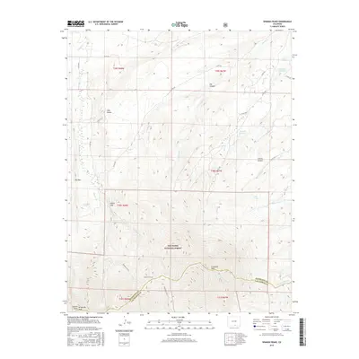
2016 Map of Spanish Peaks
USGS Topo · Published 2016About this map
E Spanish Peak and the nearby W Spanish Peaks Peak dominate the topography of this Colorado high-country landscape, positioned along the border of Huerfano and Las Animas Counties. This area within the San Isabel National Forest is defined by a series of dramatic geologic features and steep vertical relief, including the landmark known as Big Wall and the overlook at Lovers Leap. Water resources in this arid alpine environment are carefully managed, as evidenced by the Salas-Ditch Reservoir and Brunelli Reservoir located in the northern canyons.
Find a feature on this map
38 named features on this map. Tap any name to fly to it.
Don’t see what you’re looking for? This feature index may not catch every label — zoom into the map to look around manually.
Map Details
Editions of this 2016 Spanish Peaks Map
This is the sole edition of this map. No revisions or reprints were ever made.
Other maps of this area

1889 · Huerfano Park
USGS Topo · 1:125,000

1891 · Walsenburg
USGS Topo · 1:125,000

1891 · Spanish Peaks
USGS Topo · 1:125,000

1892 · Huerfano Park
USGS Topo · 1:125,000

1893 · Spanish Peaks
USGS Topo · 1:125,000

1894 · Walsenburg
USGS Topo · 1:125,000

1895 · Spanish Peaks
USGS Topo · 1:125,000

1897 · Walsenburg
USGS Topo · 1:125,000

1897 · Spanish Peaks
USGS Topo · 1:125,000

1900 · Spanish Peaks
USGS Topo · 1:125,000