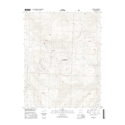
2016 Map of Spar City
USGS Topo · Published 2016About this map
Spar City sits at the heart of this high-elevation mountain landscape, serving as a focal point for the surrounding wilderness of the Rio Grande National Forest. The map documents a complex network of backcountry routes, including the Deep Creek Trail, Roaring Fork Trail, and Fisher Trail, which connect various drainage basins and peaks. Industrial history is evidenced by the Denver Tunnel located near Monument Peak, hinting at the mineral exploration that once defined this region of the San Juan Mountains.
Find a feature on this map
26 named features on this map. Tap any name to fly to it.
Don’t see what you’re looking for? This feature index may not catch every label — zoom into the map to look around manually.
Map Details
Editions of this 2016 Spar City Map
This is the sole edition of this map. No revisions or reprints were ever made.
Other maps of this area

1905 · San Cristobal
USGS Topo · 1:125,000

1907 · San Cristobal
USGS Topo · 1:125,000

1914 · Creede
USGS Topo · 1:125,000

1916 · Creede
USGS Topo · 1:125,000

1945 · Durango
USGS Topo · 1:250,000

1953 · Durango
USGS Topo · 1:250,000

1954 · Durango
USGS Topo · 1:250,000

1957 · Spar City
USGS Topo · 1:62,500

1959 · Creede
USGS Topo · 1:62,500

1959 · Bristol Head
USGS Topo · 1:62,500