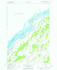
1963 Map of Sparrowhawk Point
USGS Topo · Published 1978About this map
The St Lawrence River corridor near Lisbon and Waddington is defined by the massive engineering works of the mid-20th century. This 1963 survey documents the recently completed St Lawrence Seaway and the Iroquois Dam, which regulates water flow along the international border with Ontario. The landscape reveals the transition from agrarian roots to a maritime-industrial frontier, with the Iroquois Lock standing as a primary navigation landmark. Away from the water, the inland reaches of St Lawrence County are crisscrossed by a dense network of family-named roads, including Mehaffy Road and Bullrun Road. Local history is preserved in several rural burial grounds such as O'Neill Cem and Livingston Cem, alongside community anchors like Nevin Memorial Ch and the small settlement of Pine Grove.
Find a feature on this map
46 named features on this map. Tap any name to fly to it.
Don’t see what you’re looking for? This feature index may not catch every label — zoom into the map to look around manually.
Map Details
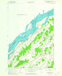
Editions of this 1963 Sparrowhawk Point Map
2 editions found
Other maps of this area

1904 · Lisbon
USGS Topo · 1:48,000

1904 · Ogdensburg
USGS Topo · 1:62,500

1905 · Waddington
USGS Topo · 1:62,500

1905 · Ogdensburg
USGS Topo · 1:62,500

1906 · Red Mills
USGS Topo · 1:62,500

1910 · Canton
USGS Topo · 1:62,500

1911 · Canton
USGS Topo · 1:62,500

1942 · Waddington
USGS Topo · 1:24,000

1942 · Murphy Island
USGS Topo · 1:24,000

1943 · Ogdensburg East
USGS Topo · 1:31,680