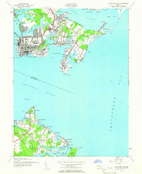
1944 Map of Sparrows Point
USGS Topo · Published 1962About this map
Fort Howard stands at the tip of Patapsco Neck, guarding the entrance to Old Road Bay and the approach to Baltimore during the final years of World War II. The landscape is defined by the massive industrial footprint of the steel works at Sparrows Point, where heavy rail infrastructure like Bear Creek Junction and prominent Chimneys illustrate the era's manufacturing power. Across the water, Hog Neck presents a different character, dotted with residential developments and leisure spots such as Venice on the Bay, Paradise Beach, and Bayside Beach. This geography captures the wartime tension between a burgeoning industrial economy and the waterfront communities that line Bodkin Creek and the Chesapeake Bay, anchored by civil and military landmarks like Fort Smallwood and the Old Lighthouse.
Find a feature on this map
74 named features on this map. Tap any name to fly to it.
Don’t see what you’re looking for? This feature index may not catch every label — zoom into the map to look around manually.
Map Details
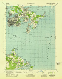
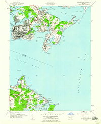
Editions of this 1944 Sparrows Point Map
3 editions found
Other maps of this area

1893 · North Point
USGS Topo · 1:62,500

1893 · Gunpowder
USGS Topo · 1:62,500

1894 · Baltimore
USGS Topo · 1:62,500

1894 · Relay
USGS Topo · 1:62,500

1898 · Tolchester
USGS Topo · 1:125,000

1899 · Baltimore
USGS Topo · 1:62,500

1901 · Gunpowder
USGS Topo · 1:62,500

1903 · Tolchester
USGS Topo · 1:125,000

1904 · Baltimore
USGS Topo · 1:62,500

1904 · North Point
USGS Topo · 1:62,500