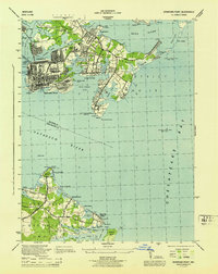
1944 Map of Sparrows Point
USGS Topo · Published 1944About this map
Industrial chimneys and maritime defenses dominate the coastal landscape of Patapsco Neck during the Second World War. Huge Stacks mark the steel works at Sparrows Point, while the surrounding waters of the Patapsco River and Chesapeake Bay are closely monitored by Fort Howard and Fort Smallwood. This era sees the convergence of heavy industry and recreational shoreline life, as workers from Chesapeake Mills and Lodge Forest lived near leisure destinations like Bay Shore Park and Paradise Beach.
Find a feature on this map
89 named features on this map. Tap any name to fly to it.
Don’t see what you’re looking for? This feature index may not catch every label — zoom into the map to look around manually.
Map Details
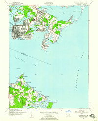
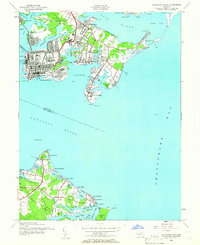
Editions of this 1944 Sparrows Point Map
3 editions found
Other maps of this area

1893 · North Point
USGS Topo · 1:62,500

1893 · Gunpowder
USGS Topo · 1:62,500

1894 · Baltimore
USGS Topo · 1:62,500

1894 · Relay
USGS Topo · 1:62,500

1898 · Tolchester
USGS Topo · 1:125,000

1899 · Baltimore
USGS Topo · 1:62,500

1901 · Gunpowder
USGS Topo · 1:62,500

1903 · Tolchester
USGS Topo · 1:125,000

1904 · Baltimore
USGS Topo · 1:62,500

1904 · North Point
USGS Topo · 1:62,500