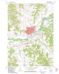
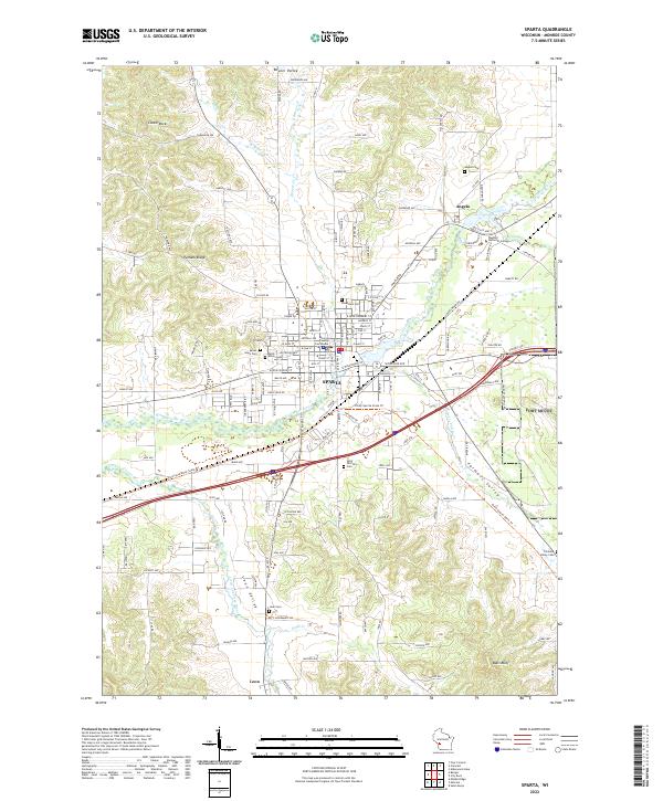
1985 Map of Sparta
USGS Topo · Published 1985About this map
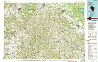
Sparta and Tomah anchor this mid-1980s survey of western Wisconsin, a landscape defined by the intricate valleys of the Driftless Area. The transition from the rugged ridges of the Kickapoo River valley to the sandy plains of the Lemonweir River is marked by significant military and public lands, including the expansive Fort Mc Coy Military Reservation and Volk Field. This era captures a notable shift in land use, as former rail corridors were being repurposed for recreation, most notably the Elroy-Sparta State Trail which traverses Tunnel No 3, Tunnel No 2, and Tunnel No 1. Researchers will find a mix of established rail networks like the Chicago and North Western alongside rural landmarks like St Marys Ch and various local burial grounds such as Mt Hope Cem. The map illustrates a well-connected rural economy where small settlements like Ontario, Kendall, and La Farge serve as hubs within the complex drainage of the Baraboo River and La Crosse River.
Find a feature on this map
126 named features on this map. Tap any name to fly to it.
Don’t see what you’re looking for? This feature index may not catch every label — zoom into the map to look around manually.
Map Details
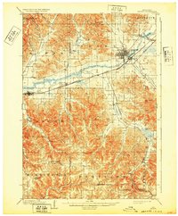
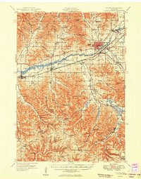
Editions of this 1985 Sparta Map
2 editions found
Historical Maps of Reedsburg Through Time
6 maps found