Loading...
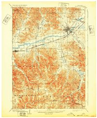
Loading map...1909 Map of Sparta
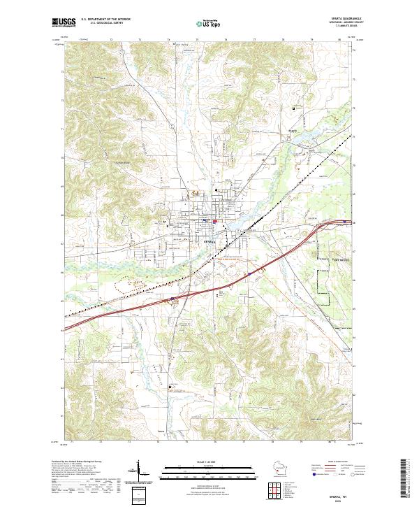
USGS Topo · Published 1932About this map
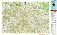
Sparta serves as the industrial and transport hub of this Monroe County landscape at the beginning of the twentieth century. The town is situated at the junction of the Chicago and Northwestern and the Chicago Milwaukee and St Paul railroads, which parallel the course of the La Crosse River. This dual-rail infrastructure highlights the importance of the region as a conduit for trade between the Coulee Region and eastern Wisconsin markets.
Find a feature on this map
40 named features on this map. Tap any name to fly to it.
Don’t see what you’re looking for? This feature index may not catch every label — zoom into the map to look around manually.
Map Details
Date Portrayed1909
Date Published1932
PublisherU.S. Geological Survey
Map TypeTopographic
Scale1:62,500
Physical Dimensions16.88 x 20.4 inches
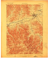
Editions of this 1909 Sparta Map
3 editions found

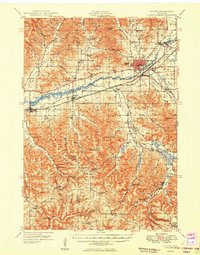
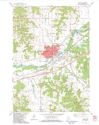
Historical Maps of Sparta Through Time
6 maps found

Featured Locations
Source Details
SourceU.S. Geological Survey
CopyrightPublic Domain