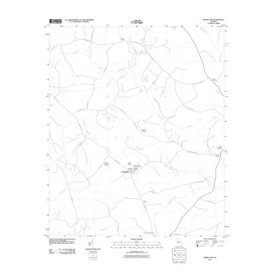
2011 Map of Sparta NW
USGS Topo · Published 2011About this map
The Springfield settlement serves as the central hub of this Georgia landscape, situated in an area where local history is recorded through numerous family burial sites and rural church grounds. This 2011 survey documents a dense concentration of genealogical landmarks, including the Hilsman-Lary Family Cemetery, Cooper Family Cemetery, and Springfield Cemetery Number 2. These sites reflect the long-standing familial ties and community structure of Hancock County, often located near ancestral homes and early road networks like Springfield RD.
Find a feature on this map
43 named features on this map. Tap any name to fly to it.
Don’t see what you’re looking for? This feature index may not catch every label — zoom into the map to look around manually.
Map Details
Editions of this 2011 Sparta NW Map
This is the sole edition of this map. No revisions or reprints were ever made.
Other maps of this area

1906 · Crawfordville
USGS Topo · 1:125,000

1953 · Athens
USGS Topo · 1:250,000

1958 · Athens
USGS Topo · 1:250,000

1959 · Athens
USGS Topo · 1:250,000

1963 · Athens
USGS Topo · 1:250,000

1965 · Union Point
USGS Topo · 1:24,000

1966 · Crawfordville
USGS Topo · 1:24,000

1972 · Shoulderbone
USGS Topo · 1:24,000

1972 · Sharon
USGS Topo · 1:24,000

1972 · Sparta NW
USGS Topo · 1:24,000