
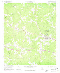
1966 Map of Crawfordville
USGS Topo · Published 1967About this map
Crawfordville serves as the focal point of this mid-1960s survey, situated along the Georgia railroad line. The town's historic layout is evident, featuring the Stephens Institute and the expansive Alexander H Stephens Memorial State Park. This landscape reflects a deep connection to local heritage and education, centered around the legacy of the former Vice President of the Confederacy whose home is preserved within the park grounds.
Find a feature on this map
29 named features on this map. Tap any name to fly to it.
Don’t see what you’re looking for? This feature index may not catch every label — zoom into the map to look around manually.
Map Details
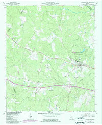
Editions of this 1966 Crawfordville Map
3 editions found
Other maps of this area

1906 · Crawfordville
USGS Topo · 1:125,000

1953 · Athens
USGS Topo · 1:250,000

1958 · Athens
USGS Topo · 1:250,000

1959 · Athens
USGS Topo · 1:250,000

1963 · Athens
USGS Topo · 1:250,000

1965 · Woodville
USGS Topo · 1:24,000

1965 · Union Point
USGS Topo · 1:24,000

1966 · Philomath
USGS Topo · 1:24,000

1972 · Sharon
USGS Topo · 1:24,000

1972 · Sparta NW
USGS Topo · 1:24,000