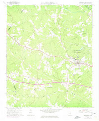
1966 Map of Crawfordville
USGS Topo · Published 1975About this map
Crawfordville serves as the central hub for this portion of Middle Georgia, captured here in the mid-1960s with updates from the early 1970s. The landscape is defined by its rural heritage, with a dense network of local landmarks like the Stephens Institute and the Alexander H Stephens Memorial State Park anchoring the town. Further out, the settlement of Robinson and the Edgewood Crossroads mark the limits of the agricultural and wooded terrain.
Find a feature on this map
34 named features on this map. Tap any name to fly to it.
Don’t see what you’re looking for? This feature index may not catch every label — zoom into the map to look around manually.
Map Details
Editions of this 1966 Crawfordville Map
3 editions found
Other maps of this area

1906 · Crawfordville
USGS Topo · 1:125,000

1953 · Athens
USGS Topo · 1:250,000

1958 · Athens
USGS Topo · 1:250,000

1959 · Athens
USGS Topo · 1:250,000

1963 · Athens
USGS Topo · 1:250,000

1965 · Woodville
USGS Topo · 1:24,000

1965 · Union Point
USGS Topo · 1:24,000

1966 · Philomath
USGS Topo · 1:24,000

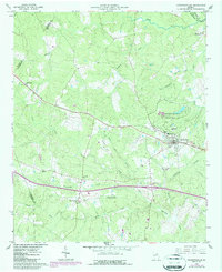
1966 · Crawfordville
USGS Topo · 1:24,000

1972 · Sharon
USGS Topo · 1:24,000